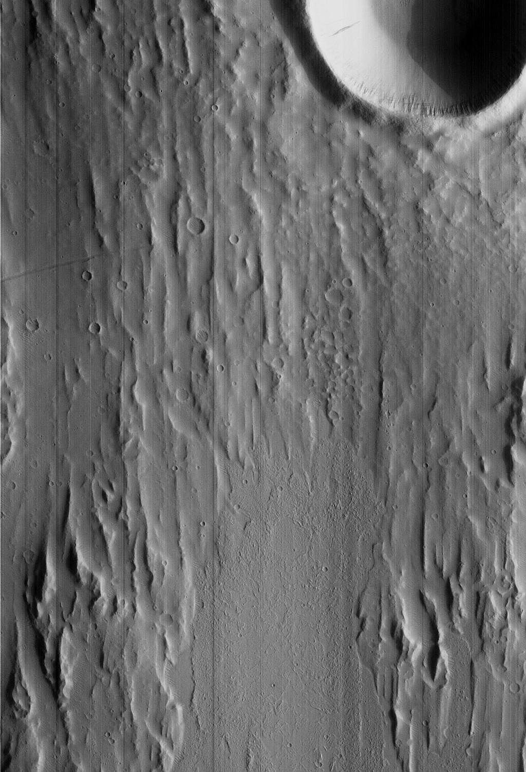
Kasei Valles Grooved Surface And Crater Without Ejecta Deposit
Latitude: 15.71° Longitude: 77.94° W Resolution: 6.94 m
|
|
|
|
| ||||||||||||
| Midsized JPEG | Full-Scale JPEG | PDF File | TIFF File | Process Image |
Process Raw Image
|
1024x1501 | 211 K
|
2048x3002 | 875 K
|
6031 K
|
5947 K
|
Small
|
Medium
|
Small
|
Medium
| |
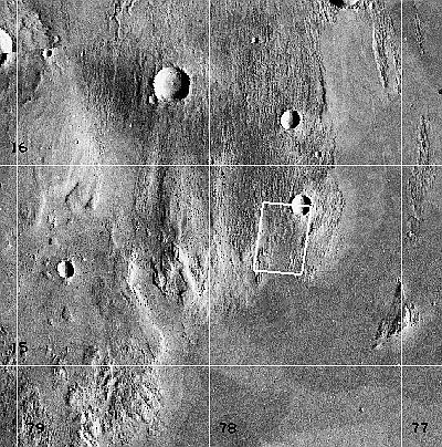
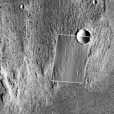
Note: To the extent possible, this MOC image has been placed in the Viking MDIM context image by registration with geographic features.
|
|