|
| MER 2003 Data Maps |
|
|
| MER 2003 Data Maps |
|
60°-by-30° (15°-by-15° for the geology and MOLA maps) subregions of these maps can be downloaded by using the interactive Mars imagemap.
| Geology and Mola | TES Thermal Inertia | TES Mineralogy | IRTM Data | Vertical Roughness |
![]()
|
Geology & MOLA
(M. Golombek & T. Parker)
Geology and MOLA topography overlaying MDIM surface images; 1:15M.
Contains pre-revised landing ellipses.
|
Geology |
|
 14640 x 1286 |
6.0 Mbytes |
MOLA |
|
 17023 x 1501 |
6.2 Mbytes |
Note: To download these large image files, use your browser's "Save Link to Disk" function on the image links.
| | |||||||||
![]()
|
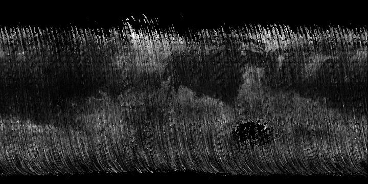
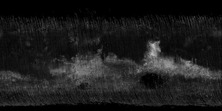
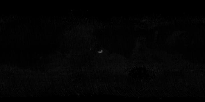
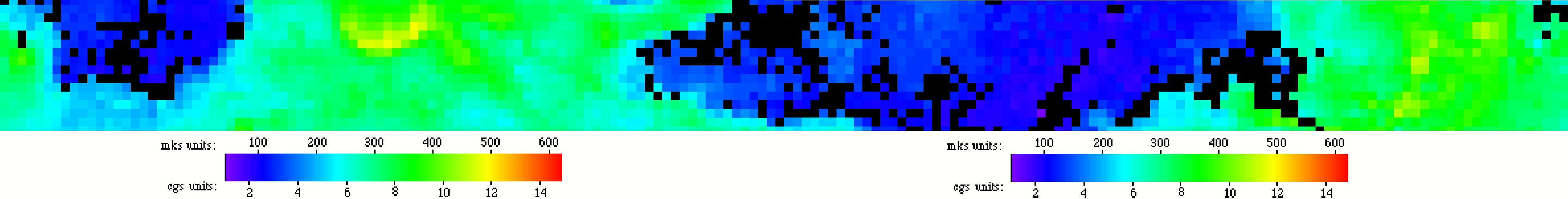
TES Thermal Inertia
(M.T. Mellon, B. M. Jakosky, H. H. Kieffer, & P. R. Christensen)
High-Resolution thermal inertia maps from the Mars Global Surveyor
Thermal Emission Spectrometer, in press Icarus, 2000. | 8 pixel-per-degree resolution (original), in the zone 15°N to 15°S.
Interpolated (data only) |
|
 4320 x 360 |
756 Kbytes |
Interpolated (composite) |
|

4320 x 360 |
603 Kbytes |
Uninterpolated (data only) |
|
4320 x 360 |
1503 Kbytes |
Uninterpolated (composite) |
|
4320 x 360 |
884 Kbytes |
Legend |
|
150 x 32 |
1.6 Kbytes |
| ||||||
Note: Marsoweb now has an online TES Thermal Inertia data map querier, which can be used to query the maps for thermal inertia values.
![]()
|
TES Mineral Abundances
(Andesite and Basalt: J.L. Bandfield, V.E. Hamilton, and P.R. Christensen) (Hematite: P.R. Christensen, M.C. Malin, R.V. Morris, J.L. Bandfield, and M.D. Lane)
8-bit original grayscale images, and colorized composites with MOLA terrain
data.
[Full description and references]
|
Andesite (original, global) |
|
 720 x 360 |
63 Kbytes |
Andesite (composite, 15° S to 15° N) |
|
 4320 x 360 |
660 Kbytes |
Basalt (original, global) |
|
 720 x 360 |
42 Kbytes |
Basalt (composite, 15° S to 15° N) |
|
 4320 x 360 |
630 Kbytes |
Hematite (original, global) |
|
 720 x 360 |
8 Kbytes |
Hematite (composite, 15° S to 15° N) |
|
 4320 x 360 |
470 Kbytes |
| ||||||
![]()
|
IRTM Data
(M. Golombek & T. Parker)
Data from the Viking Infrared Thermal Mapper: original, and composited with
MOLA terrain data.
|
Bulk Inertia (original) |
|
 4000 x 508 |
340 Kbytes |
Bulk Inertia (composite) |
|
 4320 x 360 |
836 Kbytes |
Bulk Inertia Legend |
|
 150 x 23 |
1.5 Kbytes |
Fine Component Inertia (original) |
|
 4000 x 510 |
427 Kbytes |
Fine Component Inertia (composite) |
|
 4320 x 360 |
851 Kbytes |
FC Inertia Legend |
|
 150 x 23 |
1.5 Kbytes |
Rock Abundance (original) |
|
 4000 x 464 |
642 Kbytes |
Rock Abundance (composite) |
|
 4320 x 360 |
975 Kbytes |
Rock Abundance Legend |
|
 150 x 20 |
1.4 Kbytes |
| ||||||
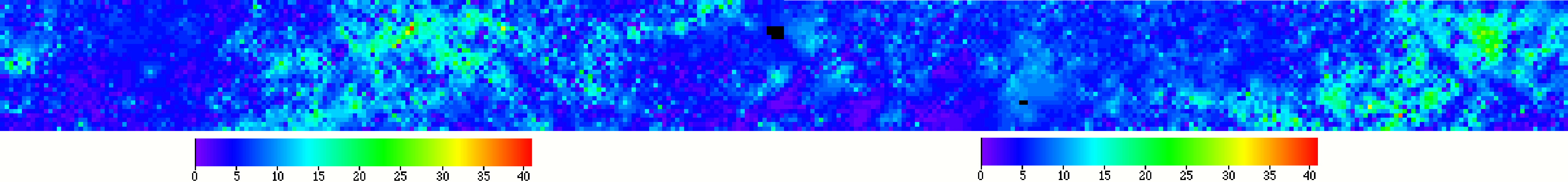
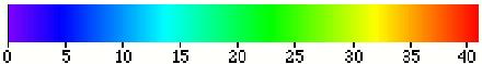
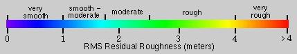
![]()
|
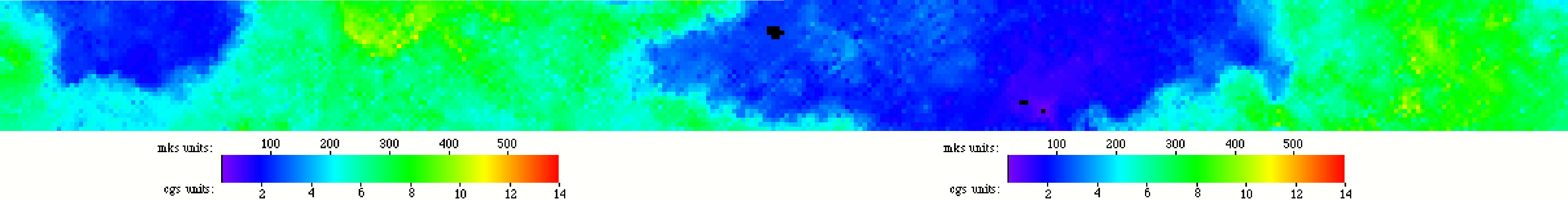
Vertical Roughness
(Jim Garvin et al.)
Total Vertical Roughness as measured by fully slope-corrected MOLA optical
pulse width, filtered to remove instrument effects.
[Full description]
|
Vertical Roughness (composite) |
|
 4320 x 360 |
838 Kbytes |
Vertical Roughness (full-scale) |
|
 21298 x 1771 |
14 Mbytes |
Vertical Roughness Legend |
|
 429 x 79 |
6 Kbytes |
Note: To download the full-scale image, use your browser's "Save
Link to Disk" function on the image link.
| | |||||||||