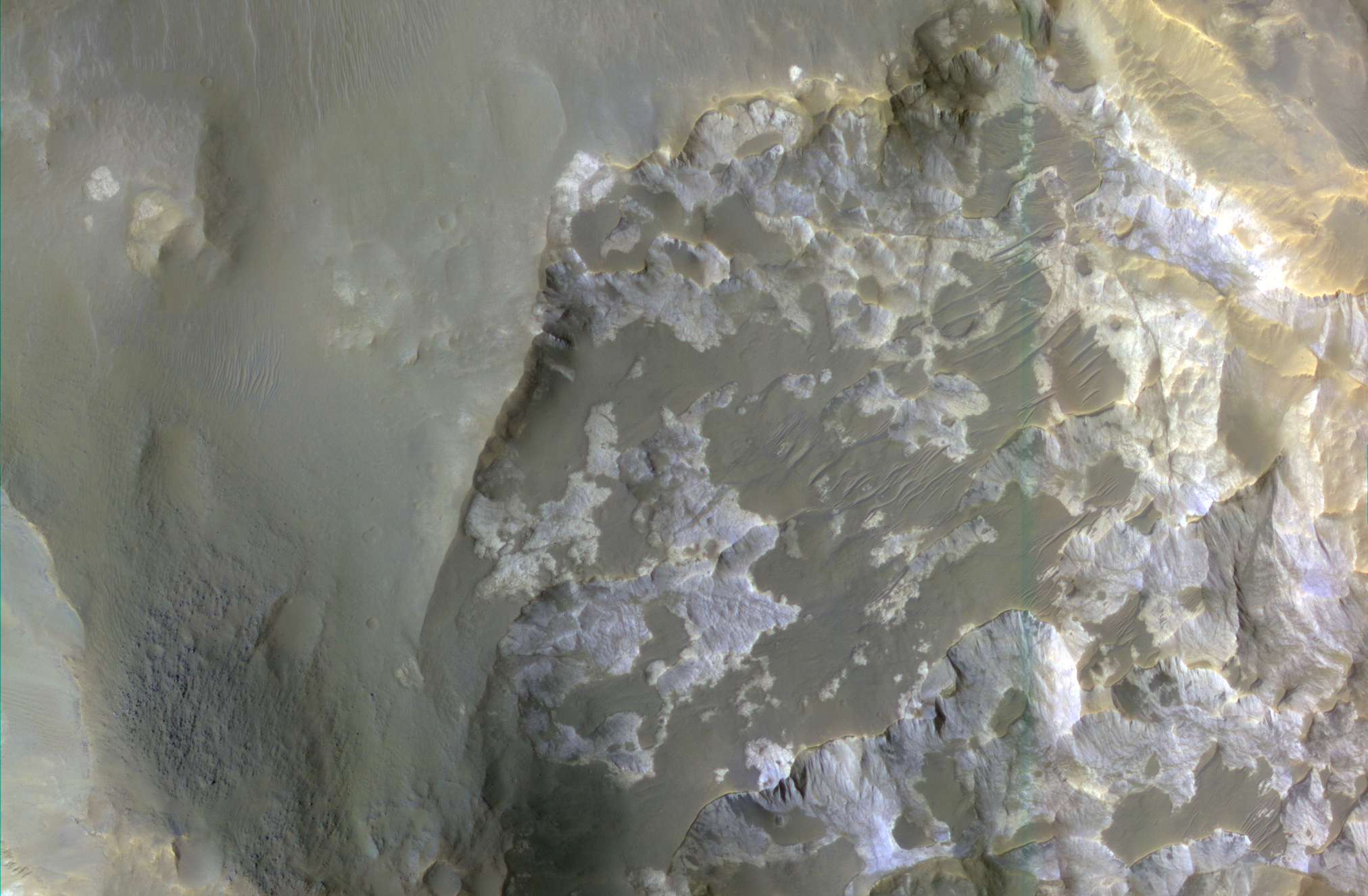
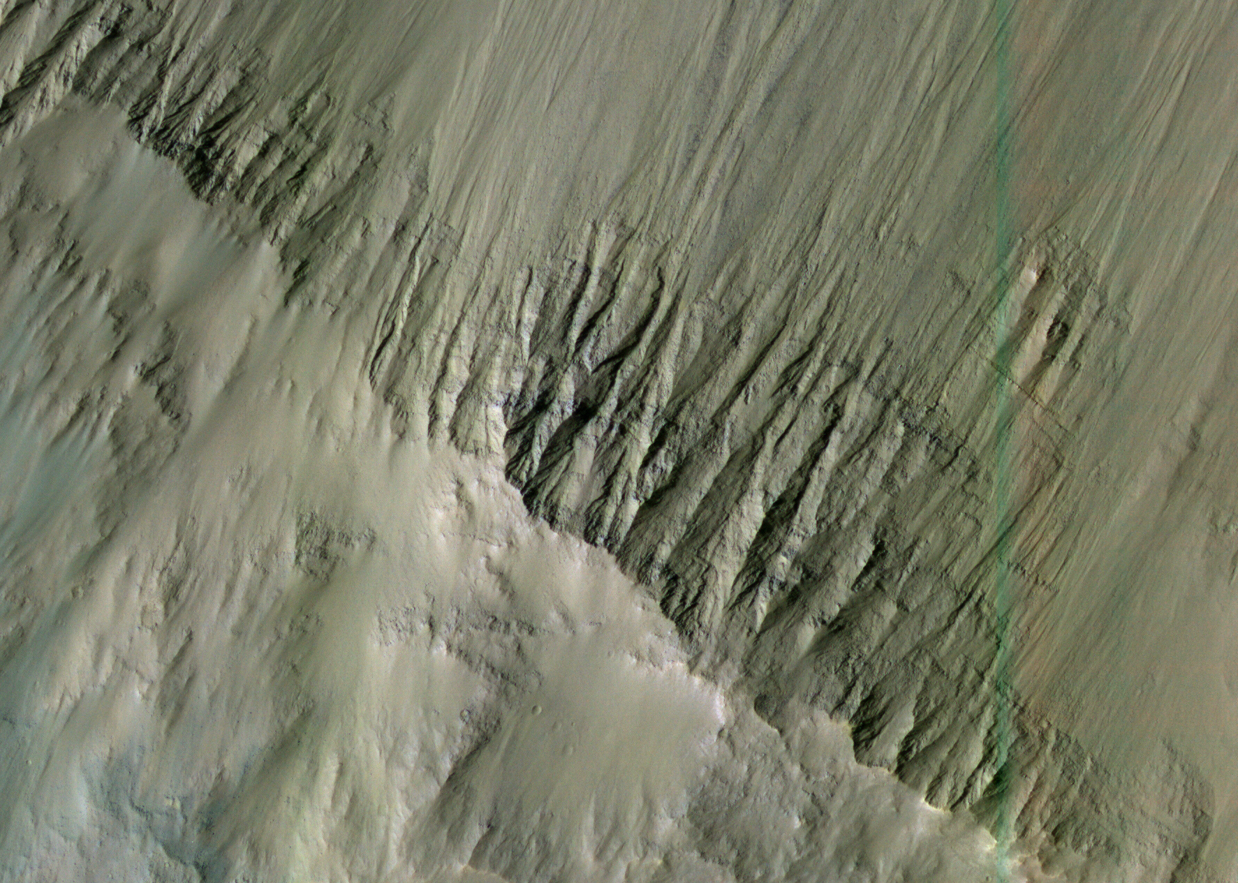
HiRISE Image PSP_003565_1495 (Center Lat, Lon °E: -29.79, 322.58)
|
Download Browse Image
1.8 MByte JPEG (map-projected, scale bar) |
Download Full-Scale Image
1.87 GByte TIFF (not map-projected) |
Image Webpage
HiRISE Operations Center |
Image Caption
from suggester & researcher |
| Zoom and pan using the toolbar. Click in the map to zoom in, or click-and-drag in the map to pan. Drag red rectangle in overview to move location. |
Image Caption
![]()
Context Map
(approximate location of image)

Click to view larger region.
Thermal Emission
Imaging System
Mosaiced Digital
Image Model
Mars Orbiter
Laser Altimeter
THEMIS
MDIM
MOLA
Image Mosaic
Image Mosaic
Elevation Map
