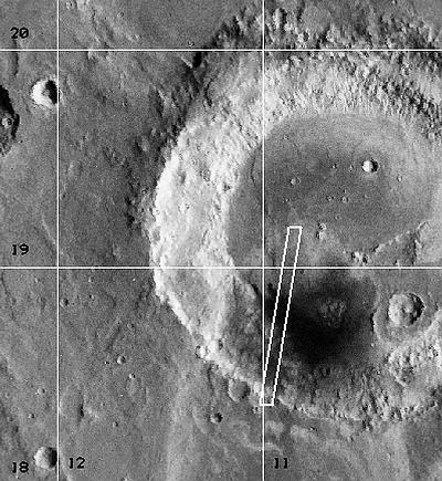
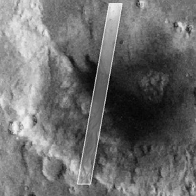
Floor And Dark Material In Rutherford Crater
Latitude: 18.84° Longitude: 11.22° W Resolution: 7.13 m
|
|
|
|
| ||||||||||||
| Midsized JPEG | Full-Scale JPEG | PDF File | TIFF File | Process Image |
Process Raw Image
|
256x3329 | 75 K
|
512x6658 | 334 K
|
3343 K
|
3553 K
|
Small
|
Medium
|
Small
|
Medium
| |
Note: To the extent possible, this MOC image has been placed in the Viking MDIM context image by registration with geographic features.

|
|