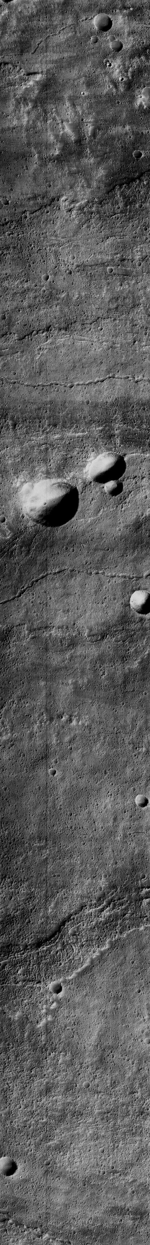
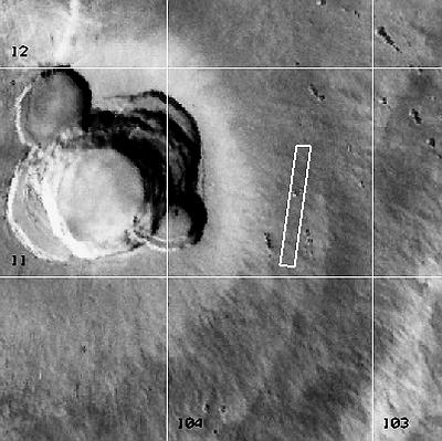
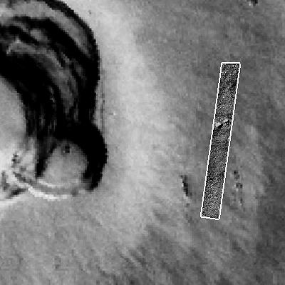
Flows Rilles And Pits On Upper East Flank Of Ascraeus Mons
Latitude: 11.27° Longitude: 103.73° W Resolution: 4.09 m
|
|
|
|
| ||||||||||||
| Midsized JPEG | Full-Scale JPEG | PDF File | TIFF File | Process Image |
Process Raw Image
|
512x4233 | 492 K
|
1024x8467 | 1451 K
|
8259 K
|
11003 K
|
Small
|
Medium
|
Small
|
Medium
| |
Note: To the extent possible, this MOC image has been placed in the Viking MDIM context image by registration with geographic features.
|
|