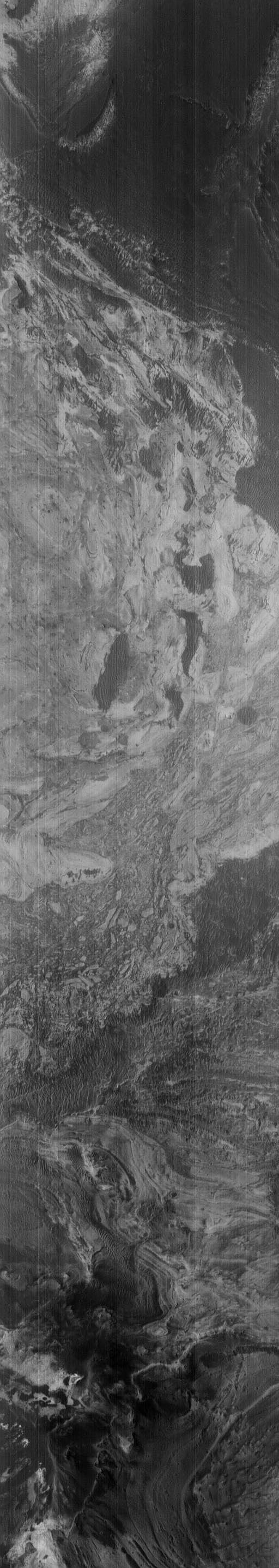
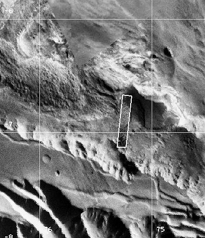
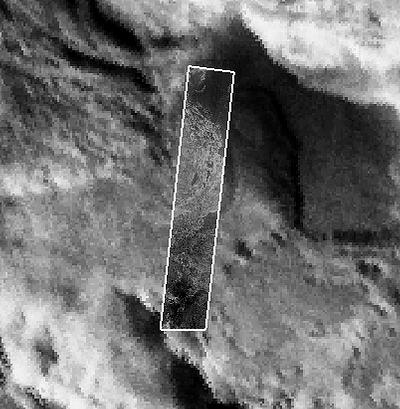
Southeast Floor Of West Candor Chasma
Latitude: -6.81° Longitude: 75.45° W Resolution: 4.59 m
|
|
|
|
| ||||||||||||
| Midsized JPEG | Full-Scale JPEG | PDF File | TIFF File | Process Image |
Process Raw Image
|
512x2876 | 197 K
|
1024x5753 | 607 K
|
4065 K
|
6405 K
|
Small
|
Medium
|
Small
|
Medium
| |
Note: To the extent possible, this MOC image has been placed in the Viking MDIM context image by registration with geographic features.
|
|